
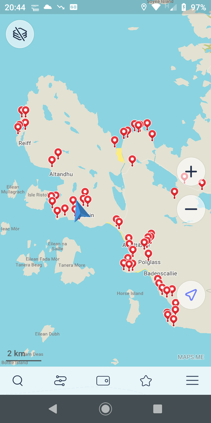
The Geotrail GPX and KML files contain the points of interest marked on the Coigach Geotrail leaflet. If you have a portable device with GPS capability these POIs can be displayed on screen along with your current position by a suitable mapping app.
GPX is a common file type used by handheld GPS devices for recording and transferring waypoint, track and route data. Check your device manual or search online for instructions to transfer the file to your device.
The KML file contains the same data but can be displayed by Google Earth, Open Street Map or mapping apps on Android and iOS devices. Our maps page has a link to a free app (Organic Maps) which can be used to display this KML file. Once the app is installed zoom in to this area and download the free map of “Scotland-North”. The KML file can then be opened with the app from your download folder or from an email attachment.
The app requires a gps signal to work but does not need mobile or wifi coverage and can be used to pinpoint the numbered locations marked on the geotrail map.
Please note that Google Maps cannot display this data.

If you have the first edition as shown on the left you need these file versions.
DOWNLOAD –
CGT Waypoints GPX (6KB GPX)
DOWNLOAD –
CGT Waypoints KML (51KB KML)

If you have the newer second edition with the yellow band use these file versions.
DOWNLOAD –
CGT Waypoints v2 GPX (7KB GPX)
DOWNLOAD –
CGT Waypoints v2 KML (61KB KML)
These POIs are theoretically accurate to within about 3 metres depending on your device and prevailing conditions.
BACK TO THE COIGACH GEOTRAIL PAGE